Decades ago, water managers and farmers didn’t have to make many difficult decisions about our most essential resource. Water was plentiful and there wasn’t a need to grow large amounts of food.
But climate change and overpopulation have led to a water crisis. In order to stave off famine and ensure access to clean water, world leaders need to be precise when allocating this critical resource. They can no longer afford to make mistakes.
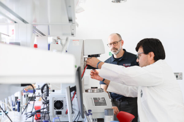
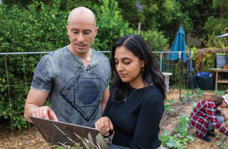
Luckily, the work of Chapman Professor Joshua Fisher is helping to guide decision makers as they contend with climate change, agricultural issues and food insecurity. Fisher is a co-author of a new report compiled for the Food and Agriculture Organization of the United Nations detailing methods to monitor available water usage with satellites.
“Now the UN has the scientific information to do something about these humanitarian issues,” Fisher said. “We’ve equipped them with satellite data when dealing with these issues across large regions. This is their way of getting at these key questions when it comes to how much water plants are using and needing, whether we have enough water and if the policies are in place to grow food.”
The report summarizes information from a series of 25 webinars on ways to keep track of evapotranspiration, which concerns the conversion of water to vapor through a complex process between land, vegetation and the atmosphere. It is one of the most difficult components of the water cycle to calculate because it can be influenced by energy, weather and the plants themselves. It has a massive impact on freshwater resources because it limits the availability of water, and the amount of evapotranspiration needed by vegetation is large.
Read more:
Tropical Forests are Within Critical Temperature Thresholds
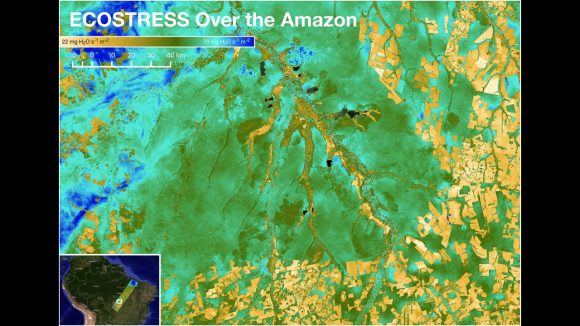
Fisher was asked to give multiple talks for the UN report due to his advanced knowledge of evapotranspiration and experience monitoring water availability with satellites. As a former scientist at NASA’s Jet Propulsion Laboratory, Fisher was the founding science lead for the ECOSTRESS mission on board the International Space Station, which uses remote sensing to measure the temperature of plants to address water availability across the world. Fisher is currently the science lead for Hydrosat, which is launching a constellation of satellites beginning in 2024.
The UN report delves into Fisher’s remote sensing model and several other satellite monitoring techniques in an effort to inform and improve the management of water. It’s critical for leaders to understand remote sensing technology because it is the only affordable option when determining the scale of evapotranspiration over larger areas.
Fisher’s remote sensing model can be used by the UN to compile critical water data that can guide irrigation recommendations, predict food crashes and allocate water rights.
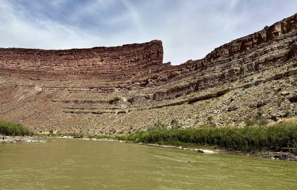
Read more:
Research Examines Water Systems in the American Southwest
“If you’re a farmer 50 years ago and you’re thinking that you need to measure evapotranspiration from space, that wouldn’t be possible,” Fisher said. “It’s not like we haven’t known that we needed this information. We just haven’t been able to do anything about it until now.”
In addition to the UN, a variety of decision makers can use the data gleaned with Fisher’s model to make important decisions about water usage. While the report focused on the Near East and North Africa region, its information can be used globally. Farmers all around the world use evapotranspiration data to determine the amount of water to use for irrigation. Higher up the decision chain, water managers who allocate water to farmers and cities will use the information to decide how much water each gets.
“So water managers are able to help optimize production for these farmers and municipalities, and optimize the collective good using this information,” Fisher said. “If you didn’t have this information, how would you make this decision?”