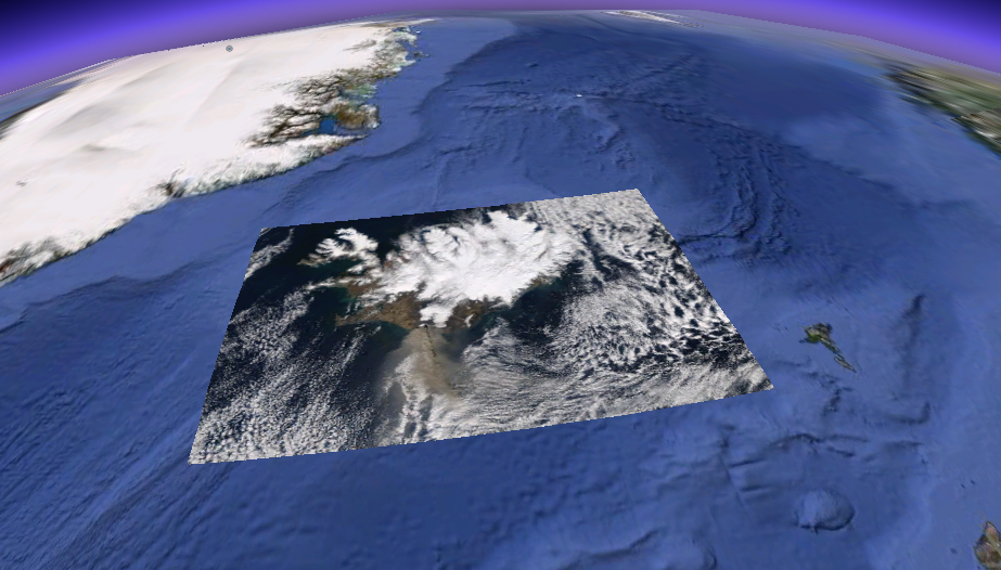
Here’s where having an Earth Observing team — our crew of distinguished computational scientists in the Schmid College of Science – comes in handy. Want to see what that Icelandic volcano’s pesky ash plume looks like from space — the cloud that has shut down and disrupted most of the world’s air traffic? Hesham El-Askary, Ph.D., assistant professor of Earth System Science and Remote Sensing in the Department of Physics, Computational Science and Engineering, sent us these photos of the plume, pulled from NASA satellites faster than you can say “Ejafjallajokull.”
Here’s the ash plume on Thursday, April 15. Iceland is at top left (see computer-generated map outline on clouds) and the brown ash cloud extends from Ejafjallajokull in Iceland’s southwest over the sea toward the British Isles. Looks like Scotland had an ashy time of it…
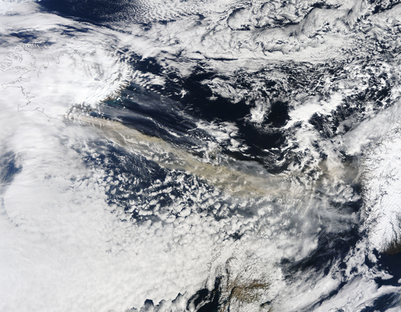
And here’s the plume (below) on April 17 in another NASA image, showing the spread (click on images to view larger):